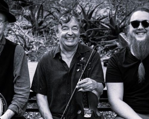
A presentation by Patrick Llewellyn, President, Institut de recherche Nicolas Baudin.
The maps of southern and western Australia were drawn by the French: the d’Entrecasteaux (1791 – 1794) and Baudin (1800 – 1804) expeditions. After the French defeat in the Napoleonic Wars, many of the place names given by the French were replaced by the names of the English Flinders Expedition (1801-1803).
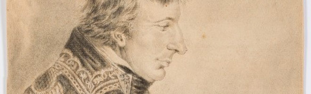
However, in 1911, at the time of the founding of Canberra, Alphonse de Fleurieu, a descendant of Pierre Claret de Fleurieu, the organiser of the Lapérouse, d’Entrecasteaux and Baudin expeditions, travelled to Australia with a map he had corrected (in red in the extract opposite). He asked for many French names to be restored. And he got them.
This map is the final episode in 140 years of adventures and links between France and Australia. Fleurieu deposited it in the archives in 1912. Since then it has been forgotten and ignored by both countries.
We discovered it and the accompanying papers at the BNF (National Library of France) a few years ago. Although it is fundamental to Australian history, it has never been studied or exhibited in Australia. We are presenting the map together with two marine chronometers used to draw it: a Berthoud from the Baudin expedition and an Earnshaw from the Flinders expedition. Never before have chronometers from both expeditions been displayed together anywhere in the world. Our talk is a world first.
About the speaker:
Patrick Llewellyn is French and has a degree in humanities. For almost twelve years, he has specialised in the history of the great scientific maritime expeditions of the 18th century, in particular that of Nicolas Baudin, the battle of the longitudes and marine chronometers. He was involved in organising the Art of Science exhibition in Australia in 2016, dedicated to Captain Baudin’s expedition, and facilitated the loan to Australia from the Musée National de la Marine in Paris of one of only two surviving marine chronometers from the Baudin expedition, and the large copper plate used to engrave the first complete map of the Australian coastline in Paris in 1811. Patrick gave numerous lectures in Australia in 2015 and 2016.
Event details:
Date: Sunday 1 December
Time: 2.00pm – 3.00pm
Cost: FREE with paid museum entry
Event
01 December 2024
2.00pm - 3.00pm
Where
126 Lipson Street, Port Adelaide SA, Australia